 vesseltracker.com
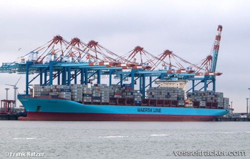
Vessel GUNHILDE MAERSK IMO: 9359026, MMSI: 477909700 Container Ship
UTC, 2.53062, 105.09643, course: 196, speed: 12.6
UTC, 2.22449, 104.94322, course: 216, speed: 10.6
2026-03-05 21:34:43 UTC, 1.91361, 104.85502, course: 203, speed: 11
Live Vessel GUNHILDE MAERSK Analytics (details, animations, etc.)
Live AIS position: UTC. 54 nm NE of PENGERANG), updated 2026-03-05 21:34:43 UTC.Find the position of the vessel GUNHILDE MAERSK on the map. The latter are known coordinates and path.
marine traffic ship tracker show on live map
The current position of vessel GUNHILDE MAERSK is 1.91361 lat / 104.85502 lng. Updated: 2026-03-05 21:34:43 UTCCurrently sailing under the flag of Hong Kong
Details:
Last coordinates of the vessel:
UTC, 2.91955, 105.18811, course: 202, speed: 12.5UTC, 2.53062, 105.09643, course: 196, speed: 12.6
UTC, 2.22449, 104.94322, course: 216, speed: 10.6
2026-03-05 21:34:43 UTC, 1.91361, 104.85502, course: 203, speed: 11